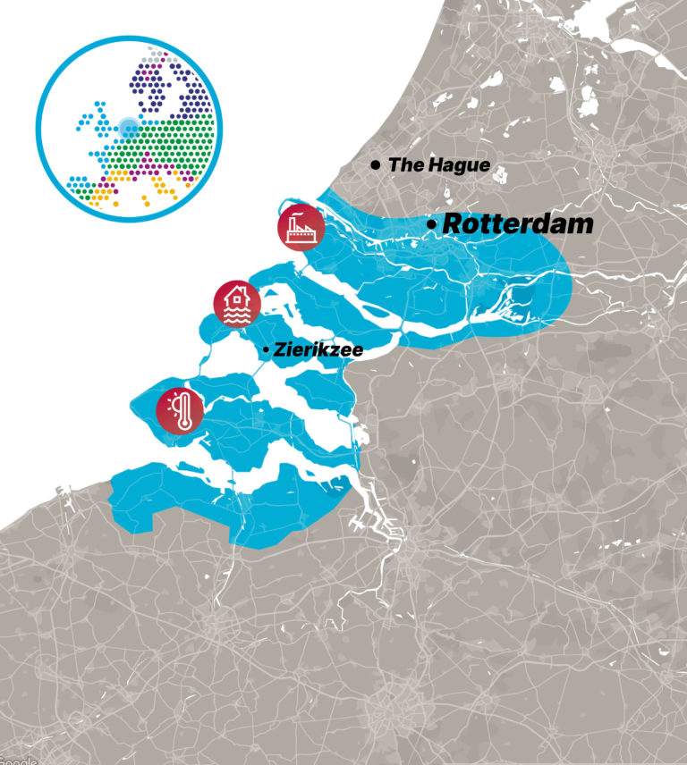
The Province of Zeeland and the Rijnmond Region are located in the western Netherlands. This coastal area consists of islands and peninsulas, with a significant portion of Zeeland covered by water. Situated within multiple transboundary river systems, including the Scheldt, Meuse, and Rhine, it is home to two extensive estuaries. Both Zeeland and Rijnmond lie at or below sea level, making them highly vulnerable to flooding and sea level rise. As traditional flood protection shifts from hard infrastructure to more integrated and sustainable solutions, new and advanced information is needed on current flood risks.
Beyond flooding, climate change has led to rising air temperatures and more frequent heatwaves. Higher summer temperatures contribute to heat stress, particularly in the region’s exposed landscapes and historic cities. This issue is especially concerning given the region’s large, vulnerable elderly population and limited adaptability. To ensure effective adaptation, insights into local hotspots and potential measures are necessary.
This region is of particular interest due to its high socio-economic importance. It includes the city of Rotterdam, home to Europe’s largest port and industrial cluster, which also presents additional risks. Energy consumption in the Rijnmond region accounts for 15% of the Netherlands’ total, yet 64% of this energy is wasted, primarily through wastewater. These losses exceed 6 billion euros annually. Addressing these inefficiencies at the source is a key step in effective climate adaptation..
Relevant general contact information: N&S